 Operational reconstruction · 38 scenes
Earth Traveler · Grades 6–12
A mapped panoramic city before Street View.
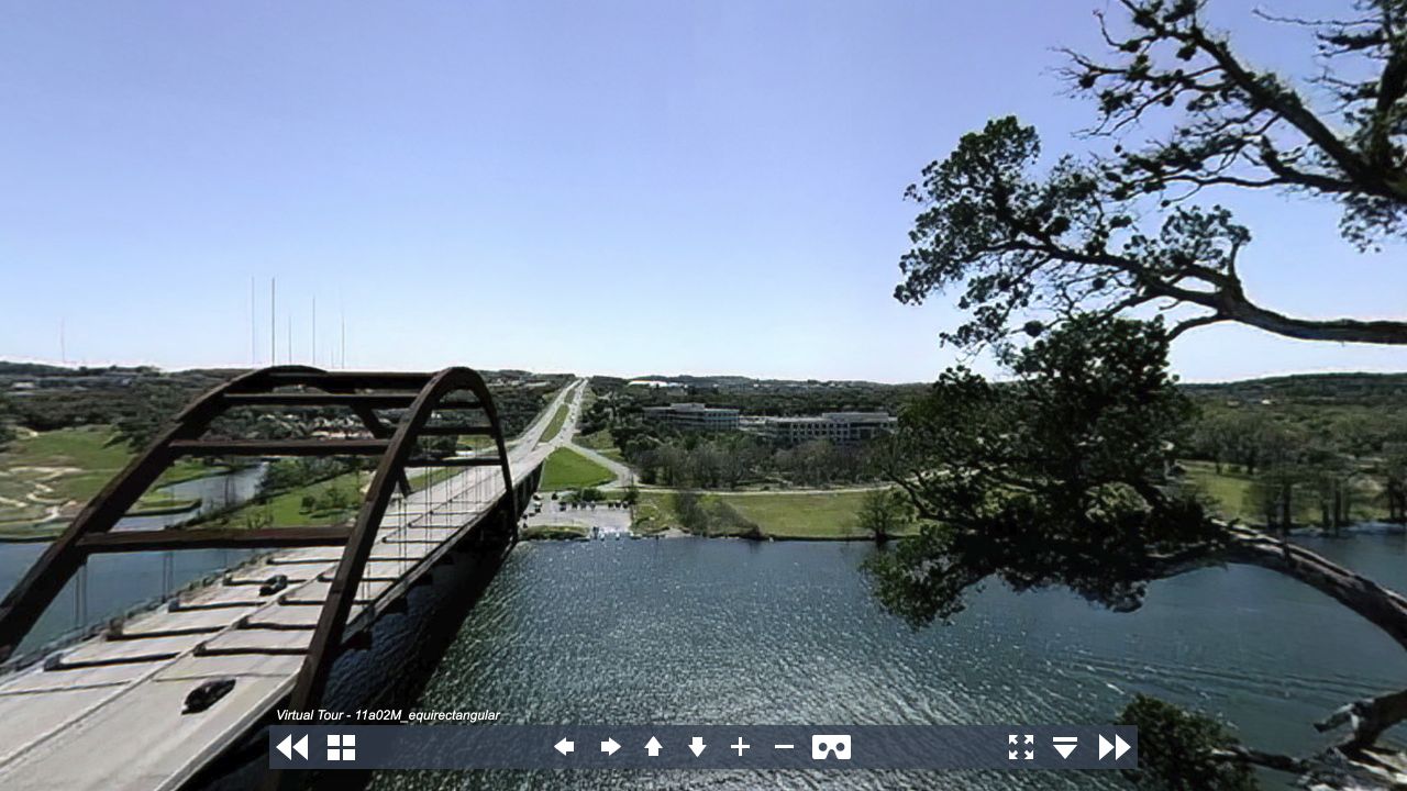
Film panoramas, an aerial map, place descriptions, and non-linear navigation create an early geographic learning environment. Learners can compare how the web represented place before today’s map platforms made this behavior ordinary.
The surviving archive contains IBM HotMedia and Apple QuickTime VR editions. It predates Google Maps (2005) and Street View (2007), making it a documented precursor in spirit rather than a claim of corporate lineage.
Open the learning experience