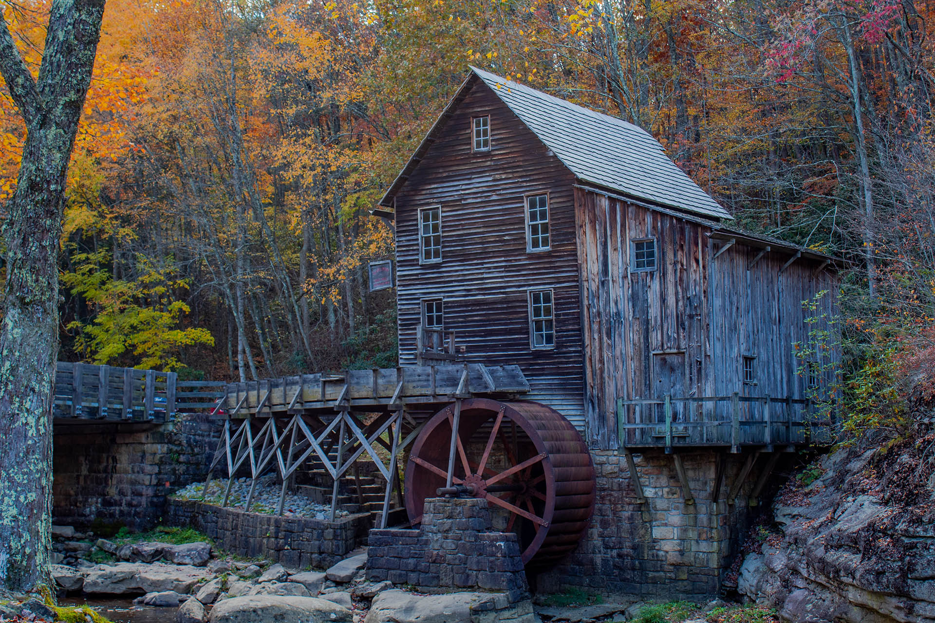
Glade Creek Grist Mill surrounded by autumn color in West Virginia

A 360° travel guide · 172 panoramic stops

See the journey.
Then go.

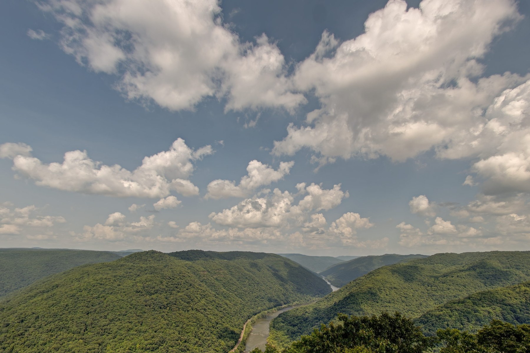
Walk into waterfalls, historic towns, mountain science, railroads and river gorges before choosing the road ahead.

Begin planning

Built for the moment between “What is that?” and “Let’s go there.”

13 routes172 views1 private passport

Choose your direction

A state you can enter.

Preview the place, read its story, check authoritative visitor information, and hand the destination to your map app when you are ready to drive.

Map-first by design

From curiosity to directions in one tap.

Open any mapped story, swipe through nearby views, and send the destination directly to Google Maps or Apple Maps. For remote areas, the guide points you back to the managing agency for current conditions and official directions.

  • 138 geolocated panoramic stops
  • Destination search and route filters
  • Hands-free preview narration and auto-advancing routes
  • Authoritative visitor links on every route
  • Geography, history, source comparison and route-building
Explore the map
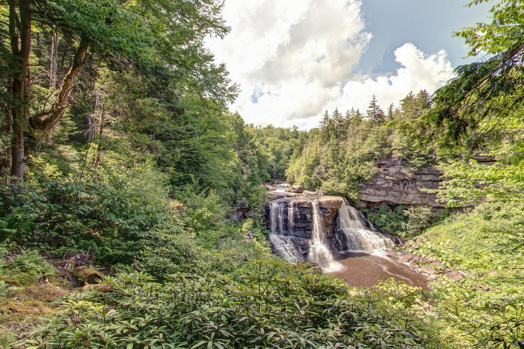
Potomac HighlandsBlackwater Falls6 stops · Directions ↗
Virtual West Virginia Field Passport Issued to: The endlessly curious

Collected stamps

Gorge
Systems
Waterfall
Wanderer
Cosmic
Listener
Next
discovery

Your journey, your device

Collect the state without surrendering your privacy.

Complete eight discovery quests, mark the places you have explored, save private field notes, and turn a 360° view into a shareable digital postcard. Passport progress stays in this browser unless you choose to clear it.

Start my passport

Virtual stamps and field notes stay in this browser unless you choose to clear them.

A digital layer for a real adventure

Follow the trails West Virginia already inspires.

Use the linked public sources to verify current trail conditions, locations, participation details, and travel guidance.

43

Official Waterfall Trail

Chase water through the mountains.

Preview panoramic views of the falls in this archive, then use West Virginia Tourism’s official digital passport for the current waterfall list, physical check-ins and rewards.

Open the official Waterfall Trail
50+

Almost Heaven swings

Find the view made for a photograph.

Begin with the panoramic swing view at Blackwater Falls, then consult the official swing directory and SWINGO program for current locations and participation details.

Find official swing locations

Learning framework

Explore, compare, and explain how place becomes history.

Observe

Read the landscape

Use 360° views and maps to describe spatial relationships among landforms, water, transportation, settlement, and public space.

Connect

Compare place and source

Move between primary images, historical accounts, public records, and present-day geography to explain continuity and change.

Create

Design an evidence route

Build a thematic path, record field notes, and explain how its selected places communicate one geographic or historical idea.

Curriculum connections include C3 geography, NCSS People, Places, and Environments, and CCSS ELA-Literacy RH.6–8.7 and SL.6–8.5.

Start anywhere

Your next West Virginia story is already open.