Visual Construction · A free learning library

Don’t read about the evidence. Enter it.

Museum panoramas become investigations. Objects become evidence. A student can move sideways through a collection, then drill down as far as curiosity carries them—into engineering, history, ecology, design, ethics, or a question no lesson plan predicted.

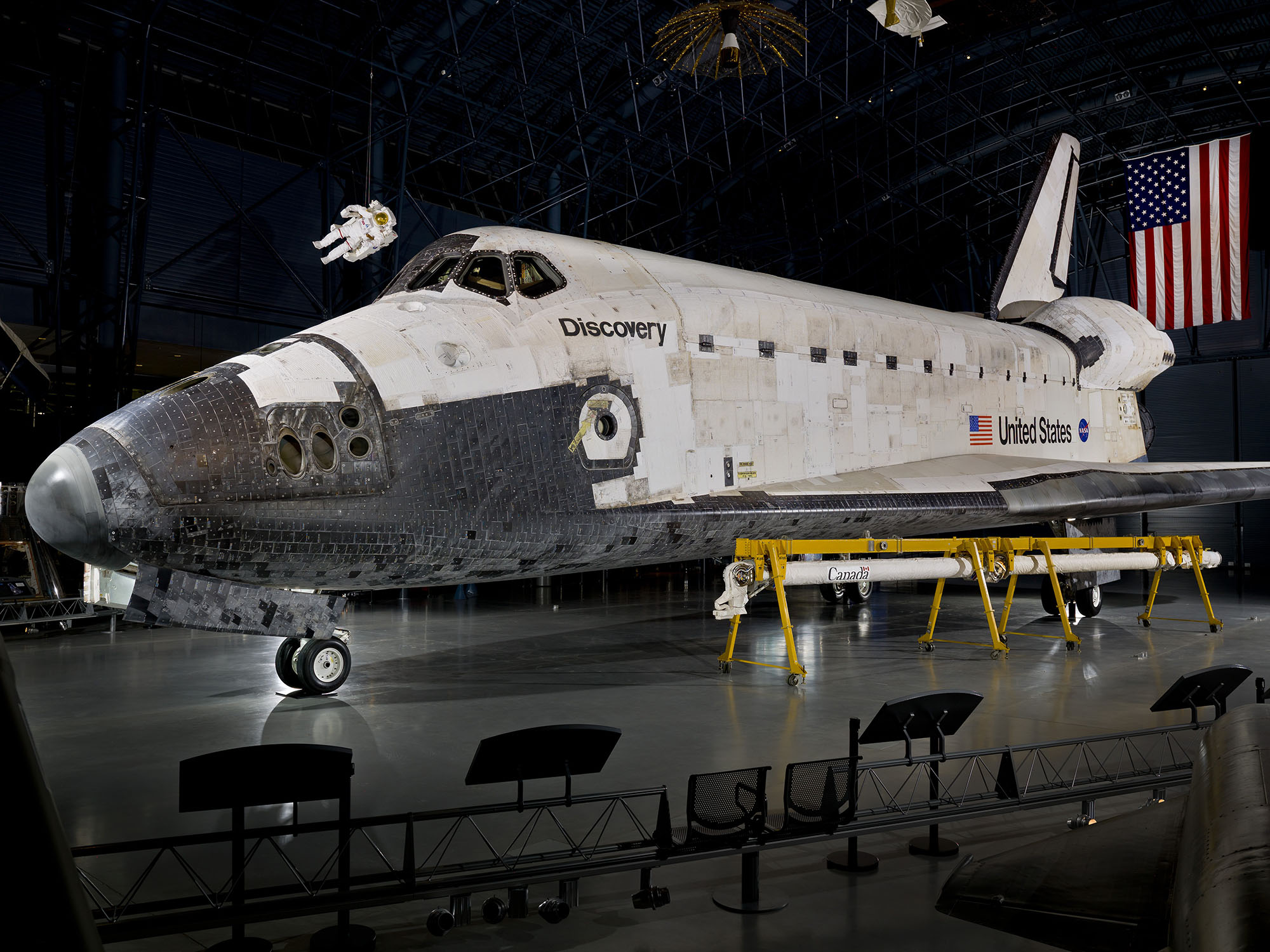
Space Shuttle Discovery photographed inside a museum gallery
Enter the placeInspect the evidenceBuild an explanation
500+explorable viewpoints
1,200+navigation and object hotspots
3 modesexplore · listen · investigate
Open pathslearner choice with curricular purpose

A working public model

The collection is already rich. The learning layer makes it alive.

The collection connects places and source material to questions, close observation, narration, records, educator guidance, and related subjects.

It is designed for students, families, educators, and lifelong learners who want a structured starting point without a prescribed route.

Choose a path / follow a question

A learning drawer with more than one way in.

Move horizontally across subjects. Open a stop, listen to the narration, look closer, try the inquiry, or switch to the educator layer. The same component can be placed inside every preserved tour.

6 learning stops shown

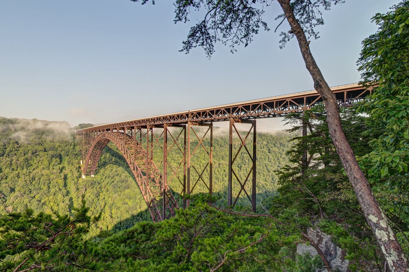
The New River Gorge Bridge rising above a forested West Virginia landscapePlace

Grades 4–12 · Geography · Public history · Map literacy

Virtual West Virginia

Connect landscape, history, community, and movement on the map

More than 170 panoramic views connect state parks, historic places, landscapes, community stories, audio, field notes, directions, and themed routes.

Learning connections
  • C3 Geography: spatial patterns and human-environment interaction
  • NCSS: People, Places, and Environments
  • CCSS RH.6–8.7 and SL.6–8.5

Connected collections

One story does not stop at one building.

The next museum is one click away when an object, technology, event, or question continues somewhere else.

Path 01 / community and place

Sightlines → West Virginia

Ask how maps, public space, community memory, transportation, work, and collective action shape places at neighborhood and statewide scales.

Sightlines Virtual West Virginia
Path 02 / observation to model

Deep reef evidence → geometric systems

Move from observing a research system in the field to changing a mathematical model. Compare how scientists and engineers use evidence, constraints, representation, and iteration.

Deep Reef Geometric Design

Places and collections

Enter a gallery, then build the lesson around what students notice.

Curricular purpose without a prescribed path

Curiosity is the route. Evidence is the discipline.

Science

Three-dimensional learning

Learners use science and engineering practices, crosscutting concepts, and disciplinary core ideas together to explain a phenomenon or design a solution.

Next Generation Science Standards
Social studies

The C3 Inquiry Arc

Students develop questions, use disciplinary tools, evaluate sources and evidence, communicate conclusions, and connect learning to informed action.

C3 Framework
Literacy

Read across media

Panoramas, diagrams, objects, captions, technical records, audio, and primary sources become a connected text set for close reading, evidence-based writing, speaking, and listening.

Common Core ELA/Literacy

A living public collection

Every experience can continue to deepen.

Each experience begins with real places and surviving evidence, then adds the layers that help people learn: accessible text, audio, maps, questions, source records, comparisons, and connections to related experiences.

  • Museums, memorials, historic sites, and landscapes
  • Science missions, art history, engineering, and civics
  • Free exploration and structured learning routes
  • Source-grounded interpretation and accessible companion modes
  • Connections across places, objects, eras, and disciplines